Showing posts with label 46'r. Show all posts

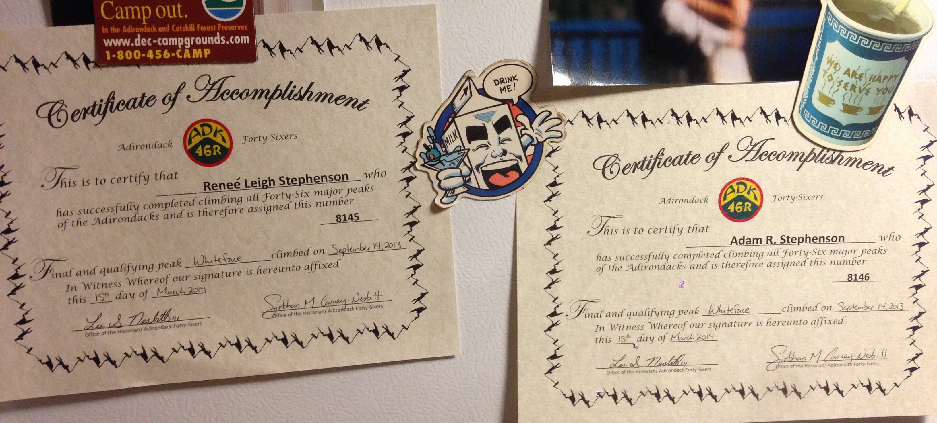
8145

.
Breaking from our tradition of Memorial Day vacations below the Mason-Dixon line, Adam, Crosbi, and I rented a cabin at the foot of Whiteface Mountain. It's not that we were averse to going south but rather we had certificates to be awarded, Adirondack 46'r Certificates of Accomplishment.
.

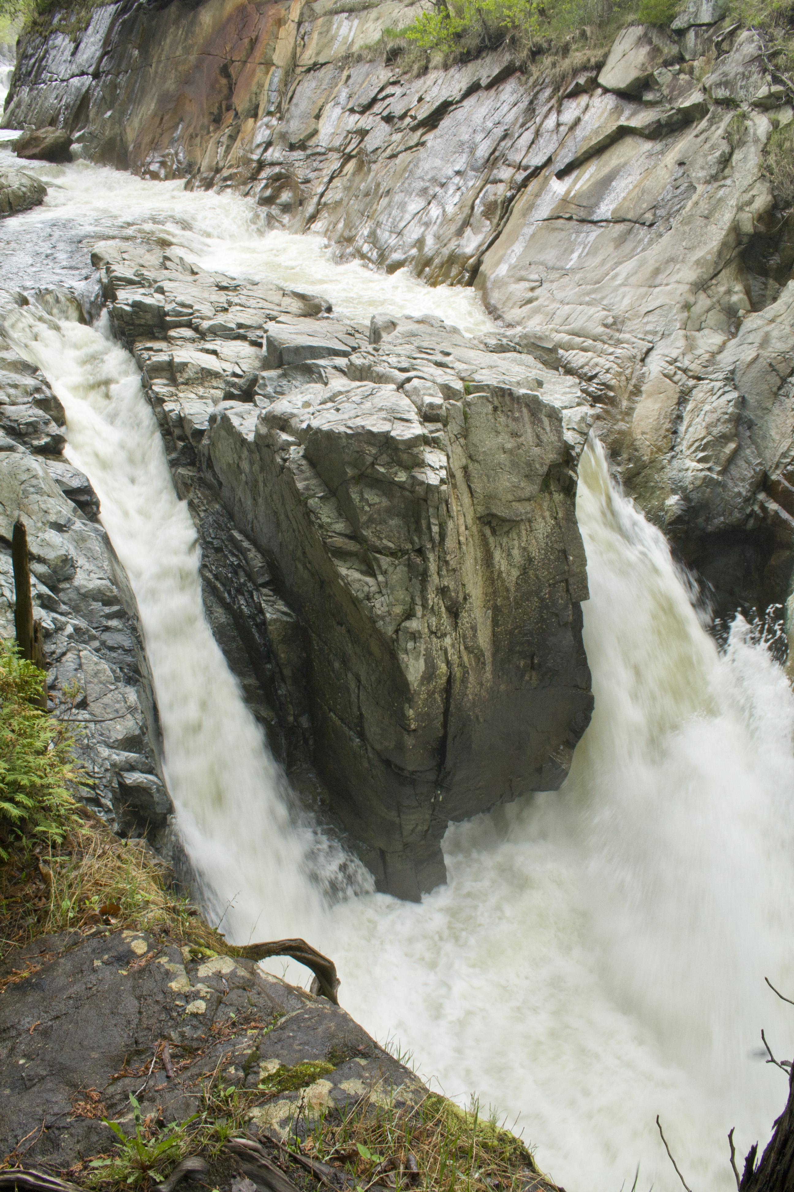
We took a leisurely hike along the Ausable River, ate delicious MexiQuinn food, and strolled around Lake Placid. I read an entire book. We drank beers on the third floor balcony of the Lake Placid Brewery lazily watching the not-so-lazy tri-athletes swimming Mirror Lake.
.

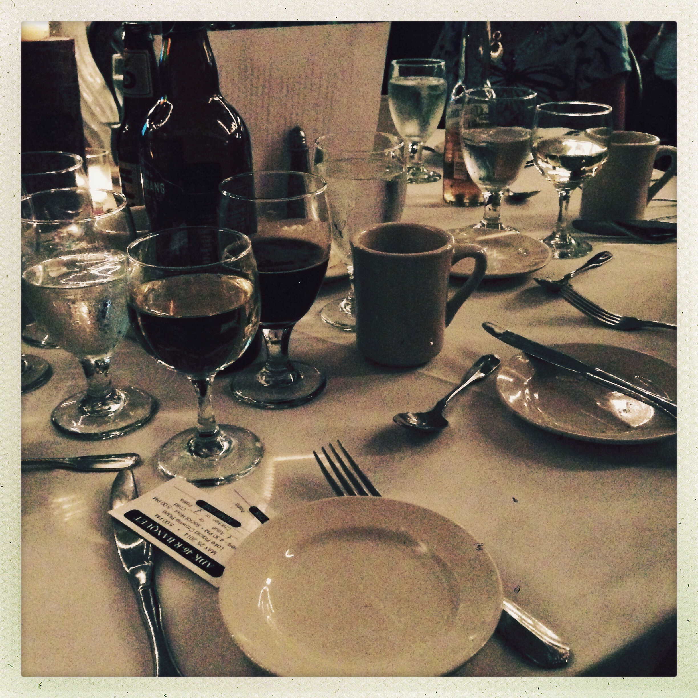
We headed up to the Crowne Plaza to meet up with hundreds of other Adirondack mountain climbers for the Annual 46r Dinner. There could be no more appropriate location for this ceremony as Crowne Plaza is high above the town of Lake Placid with a view of our finishing peak, Whiteface. There was a tear-inducing tribute to Grace Hudowalski then those that finished the 46 in 2013 were lined up in order of their final summit time and led to the podium to receive their acknowledgement. It's pretty amazing to be in such a large group of folks who "get it" and know that enduring the challenge of the climb is worth it in the end.
.

esther and whiteface make 46!

in just under eight hours of hiking adam and i finished esther and whiteface bringing us to the finish of our quest to complete all of the 46 adirondack high peaks! i'll be writing the rest of my trip reports and submitting them to my correspondent ASAP in order to officially become an adirondack forty-sixer!
we started from the atmospheric sciences research center. while this trailhead shaves some distance off the total hike it leads you up a less than beautiful first mile of loose rock on a very steep trail up marble mountain. luckily, once you reach the summit of marble the trail becomes much more enjoyable albeit no less steep. the trail was also very wet and muddy. waterproof boots were well appreciated, especially after seeing so many folks on the trail in just running sneakers.

Untitled
just one portion of the "trail"
there's not much i can say about esther that hasn't been said before. the herd path to the summit is relatively flat and painless, but is very muddy. while there is no view, there is a plaque which offers some gratification for the walk.
back on the wilmington trail we headed for the summit of whiteface, passing ski trails and a lift, soon coming to the intersection with the scenic highway to the top of the mountain.

Untitled
encountering whiteface veterans memorial highway
undoubtedly this is a strange high peak experience to encounter so much "civilization" on a summit. the final part of the hike is quite steep and you emerge onto the summit (and into a gaggle of tourists) from behind the tower on the peak. it is an interesting mix of folks - lots and lots of them. you can tell who drove up the mountain mainly by their lack of muddy clothing and that they do not sit on the rocks (too dirty).

.
no lack of company on the summit

we certainly underestimated the mighty winds of whiteface and were woefully underdressed. it was cold enough to see your breath. adam had a difficult time "uncorking" our little bottle of champagne. despite the conditions we spent at least a half an hour on the summit. the clouds were below the summit making it feel like you were on top of the world.

.
the "view"
a little more than two knee breaking hours of descent and we were back at the car, in disbelief that we had ACTUALLY DONE IT!!!

more photos from this hike are here.

more photos documenting (most of) our 46r trips are here.

skylight - #44

we are only one dayhike away from becoming 46rs after this weekend's backpacking trip. we spent three days camped at flowed lands and climbed mt skylight. so many people say this is their favorite high peak and after seeing the summit on a clear day i can understand why.
skylight trip

skylight trip

skylight trip

many more pictures here.

sawteeth mountain.

sawteeth mountain
what better way to celebrate your one year wedding anniversary than to hike 14 miles and summit a high peak?
we started from the st hubert's parking area at the ausable club at 8:45, signed in at the amr gate and began walking the lake road. i hate to say it, but there is little interest to this road after the first time you walk it. we arrived at the dam around 10:00 and were glad to start hiking an actual trail. taking the trail beside rainbow falls up, we reached the summit around noon. it was windy and quite cold up top but offered a fine view of the great range.
sawteeth mountain
15 minutes later, with frozen fingers and full bellies we began the descent to ausable lake via the scenic trail. this is a steeper trail and added almost a mile to the trip. there were many lookout points perched on the cliffside scramble down offering views to the southeast that weren't available from the summit. the final portion of the scenic trail that follows the lakeshore was a rugged crawl over glacial erratics. it took us nearly three hours to descend from the summit back to the dam.
sawteeth mountain
the mind-numbing walk of the lake road followed and we were back at the car by 4:45, making it an even 8 hour day.
(more photos here.)

allen mountain.

let me begin by quoting from summit post's description of allen mountain.
"The twenty-sixth highest peak in the Adirondacks, Allen is touted as being the most difficult of the original 46 to get to. This is most likely because of the long hike in that is needed to get to its trailhead normally requiring at least an overnight stay. Allen also stands quite far from any other regular trail and has a rather obtuse route to the top due to most of the direct route residing on private land. Add to this the effects of clear-cut logging in that area and the devastating blowdowns from Hurricane Floyd in 1998 make for a most strenuous passage."
with this in mind, we knew this would be a ball-buster of a hike. i know that some folks on the path to becoming 46rs will wait until the end to complete allen mountain. i would advise everyone against that.
sign marking the beginning of the herdpath to allen mtn
(sign marking the beginning of the allen mountain herd path. photo taken by adam.)
to be fair, it is an interesting hike and there are good views from the summit. so much of the hike up allen mountain is approach, miles and miles of mostly flat approach. i began to wonder when we would finally start going uponce you start gaining elevation though, it is an unrelenting 2,000 feet in two miles mostly on a slide where running water and slippery moss making the going slow. that final two miles took two hours. 
slides on allen mtn
(a view down the slide climbed to summit allen. photo taken by adam.)
researching prior to the trip, we decided to hike in from camp at livingston point on flowed lands. it shaved a few miles off the distance, making our round trip about 16 miles. it also prevented us from having to ford the hudson and opalescent rivers without bridges and cross the slightly nightmarish lake jimmy "floating" bridge. what we didn't factor is that our approach via the hanging spear falls trail adds the descent & ascent of the falls into the trip. that ascent of the falls on our return to camp was extremely mentally and physically challenging. while it didn't bother me as much, adam was nearly brought to madness by the  portion of the maintained red trail between the allen herd path and flowed lands. it's overgrown, with alders and blackberry bushes as high as your shoulders crossing the path. adam chose to wear a sleeveless shirt and now looks as though he was whipped across the upper arms. the black flies, mosquitos and heat probably didn't help maintain sanity either.
from allen mtn
(one of the views from allen's summit. photo taken by adam.)
all in all it took us almost 12 hours, including a half hour stop on the summit and many, many short breaks. 
i could not be more happy that allen mountain is behind us.

colvin & blake.

i am not in the habit of skirting the truth or fibbing to you here on this blog. it is because of that fact i will honestly tell you that i am more sore right now than i have been post-hike in quite some time. to put it bluntly, mt colvin and blake peak kicked my ass.
i am sure there are high peak warriors that will snuff at this and the fact that it took us 10 hours to cover the 14-point-something miles round trip. adam and i are in pretty decent shape. we go to the gym (fairly) regular. although it is entirely true that gym-shape does not equal trail-shape, we were not unprepared for this trek.
it was a beautiful day, clear and sunny. there was only one couple we passed on the same route as us which is highly unusual in the high peaks. we saw multiple deer and they were not afraid of us.
great range and lower ausable lake from mt colvin
(view of lower ausable lake from the summit of mt colvin. note the black fly top center)

we also hiked two mountains. we hiked mt colvin twice actually because you have to backtrack the way you came to get back to the trailhead.
i think it was the col between mt colvin and blake peak that wiped me out. the colvin side was pretty steep with two ladders positioned along the way. i fell/slid at one point, scraping up the side of my right arm. slick mud and steep descents don't mix, especially on tired jello legs with black flies dive bombing your eyes and ears.
(me descending into the col between colvin and blake. *photo by adam)

the summit of mt colvin was gorgeous with amazing views of the entire great range and giant mountain. the summit of blake peak was...well...unremarkable. it is entirely shrouded in scrub trees. there isn't even much of a marker to give you the comfort that you FINALLY made it. granted, i was so wiped out when we summited blake that i couldn't care less about views. i wanted to sit, get out of the beating sun, not hear incessant fly buzzing and gather the mental and physical energy to hike the 7+ miles back out.
on the summit of blake peak...completely exhausted
(me entirely exhausted on the summit of blake peak. *photo by adam)

high peaks completed as of june 15th, 2012 = 41

seymour mountain.

can you believe it has been almost two years since the last time we climbed a "new" adirondack high peak? the year of 2011 was dominated by a historic september event which took a whole bunch of planning. additionally we were banking our vacation days for the honeymoon that followed.
with that behind us, it is now time to resume the quest to finally finish hiking all of the 46 adirondack high peaks. we chose to start back up with a day hike of seymour mountain, the peak we left behind in our july 2009 backpack into the seward range.

Untitledwe drove up to corey road and slept friday night at the seward mountain trailhead. we started the hike at 7:30 on a clear and sunny day. two hours and approximately 5 miles later we arrived at the location where we would leave the marked trail. a cairn marks the beginning of the unmarked, unmaintained herd path up seymour mountain.
while the hike on the marked trail was mostly level and dry, the bushwhack up to the summit was grueling. our progress slowed to a crawl. it took us two hours to climb the approximately 1 1/2 miles to the top of seymour mountain, reaching the summit at 11:30. it was steep, muddy, and "picky"; necessitating the mentally and physically exhausting search for the right foot and hand holds.

seymour mountainseymour mountain's summit is fully wooded but there are multiple rock outcroppings where excellent views to the north and east can be found. we spent over an hour on the north facing overlook, eating lunch and snapping pictures before heading back down the knee busting descent.

from seymour mountain looking at the rest of the seward rangeit took us just under 2 hours to climb back down the herd path at the junction with the marked trail. the unusually hot spring weather was starting to take a toll on our dog, crosbi (and also on us to be fair). we took many, many rest stops on the trip back to the trailhead to let the dog nap and to soak our feet in the cold, clear brooks, spotting small trout along the way. we arrived back to the parking area at 5:00, battered but successful.
adam and i are now at 39 completed high peaks, with crosbi at a respectable 21.

(for more pictures, visit my seymour mountain flickr set here.)